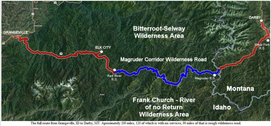
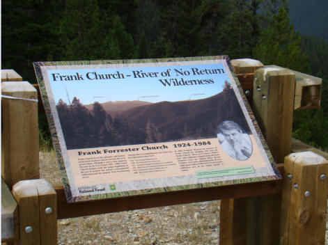
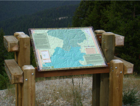
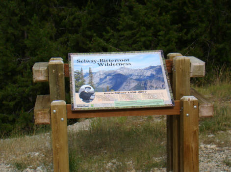
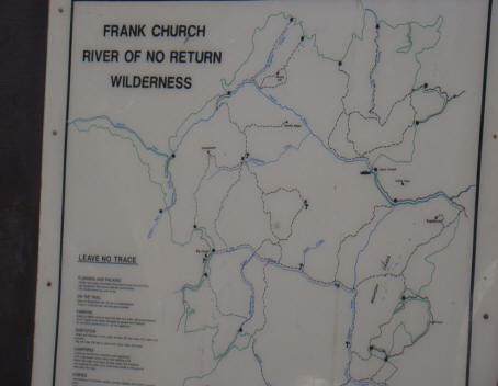
The Magruder Corridor Road runs 101 miles from Conner, MT to Elk City, Idaho on mostly a primitive one lane road. Constructed in the 1930's by the Civilian Conservation Corps, it has also been know as the Southern Nez Perce Trail, Elk City to Darby Road, Montana Road and the Parker Trail. It is situated between two wilderness areas: the 1.2 million-acre Selway-Bitterroot Wilderness to the north and the 2.3-million-acre Frank Church-River of No Return Wilderness to the south.
Together, they represent the largest unroaded block of land in the lower 48 states and are nearly twice as large as the combined states of Delaware and Rhode Island.
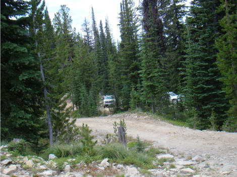
Our trip today would take us 202 miles from Darby, Mt to Grangeville of which 90 miles is rough and slow going and 120 miles has no services. If you breakdown, you hope that a passing car will help. However, on the entire trip, we only encountered four vehicles coming towards us plus the two jeeps and one USFS truck which are mentioned later. In addition, we saw several ATV's near the West Fork Ranger Station plus a group of 4 ATV's running a race from Elk City to Conner, Mt. We also encountered a group of about 15 boy scouts that were walking from Connors to Elk City and another group of 4 on a trail ride from the Magruder Ranger Station.
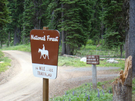
After breakfast at the Perkins Restaurant in Hamilton and visiting with a US Forest Service fire crew that was headed out to fight a fire in the Selway Forest, we packed up and headed south on U.S. 93 to Darby where the F-150 turned onto Montana 468, a paved road headed to the Magruder Ranger Station to sign in and pick up the latest road information.
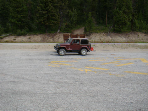
At 7:45 a.m., we signed in at the West Fork Ranger Station and met two couples in two Jeep's. They were returning to the area for the third time. They were surprised that I was traveling alone without another vehicle following me nor that I did not have extra gas. They were to stay behind me until they turned off to head down a 12 mile narrow one-lane road called Paradise Road to the Salmon River where they were to camp and fish for a few days.
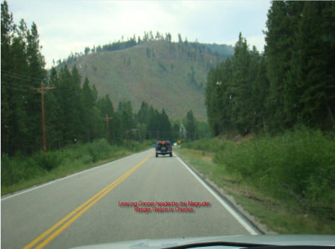
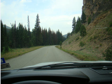
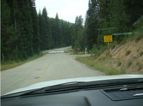
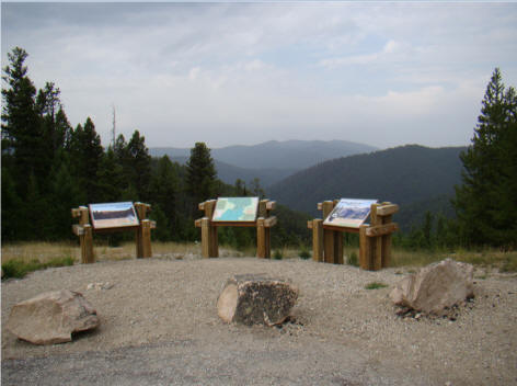
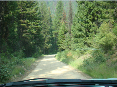
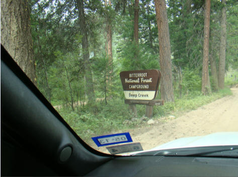
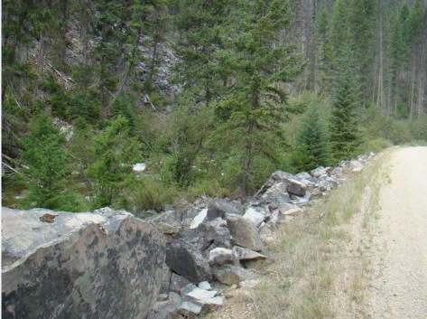
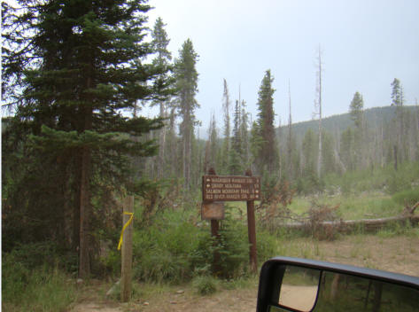
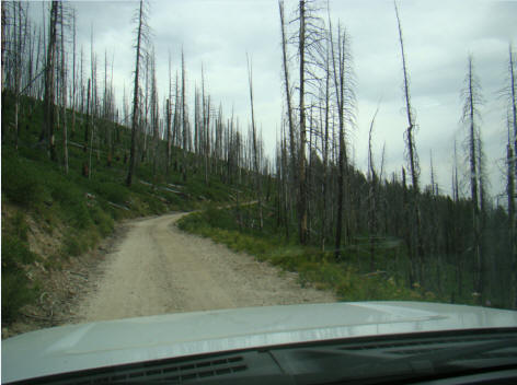
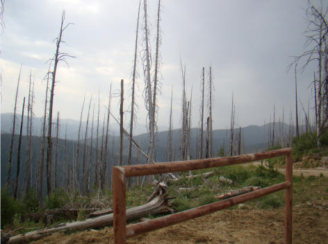
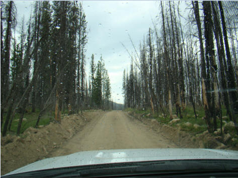
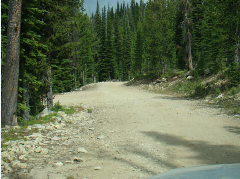
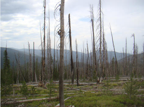
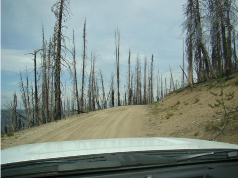
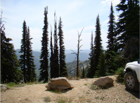
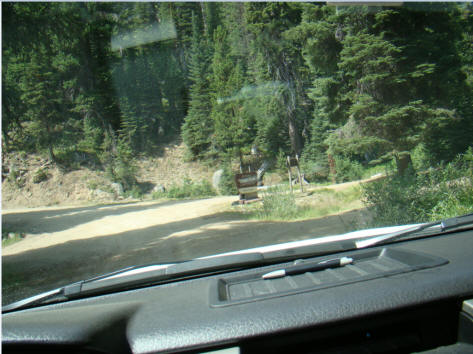
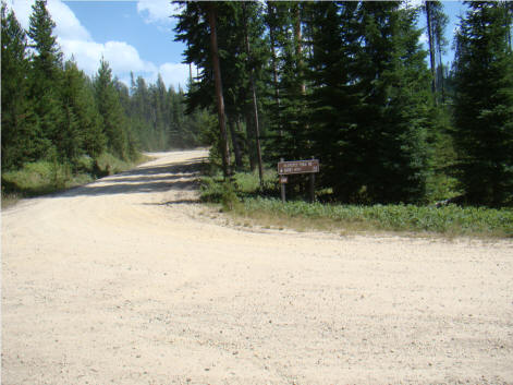
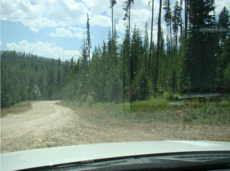
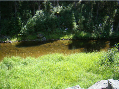
Up to the West Fork Ranger Station the road is paved. The following pictures were taken headed to the West Fork Ranger Station. The paved road occasionally turned to gravel but in the 1980's there was interest in logging some of the wilderness area but when the Frank Church Wilderness area was approved, the road remained and interest in logging stopped.

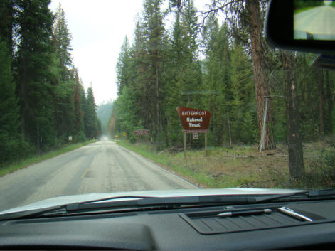
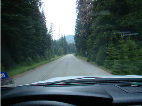
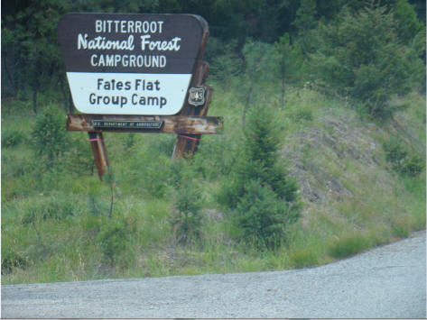
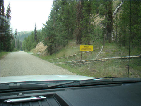
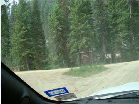
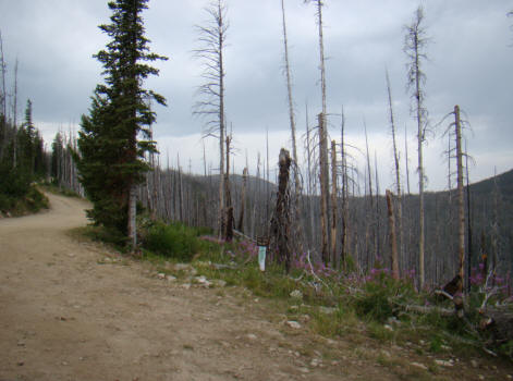
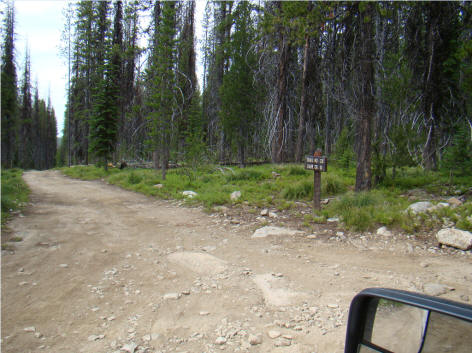
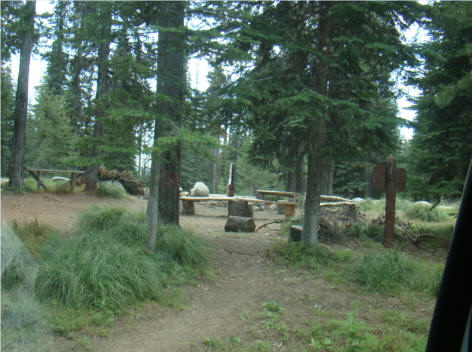
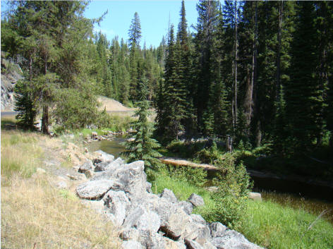
After leaving the West Fork Ranger Station, the road was both gravel and paved up to the Summit. The first campground in the Bitterroot forest was the False Flat Group Camp which has multiple campsites as well as toilets but no water.
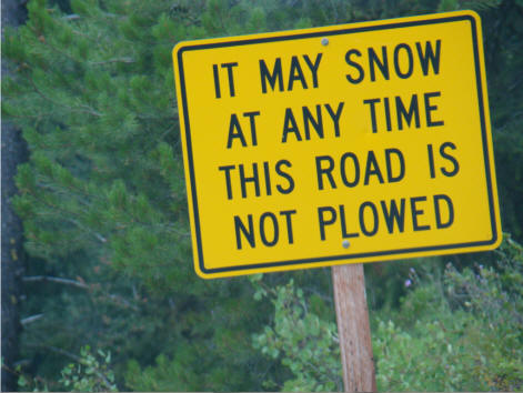
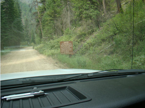
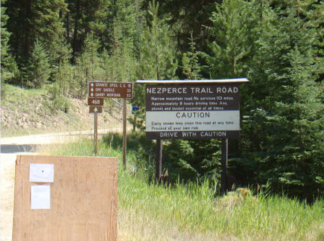
Leaving Fales Flat, travelers are suddenly accosted by the following warning sign.
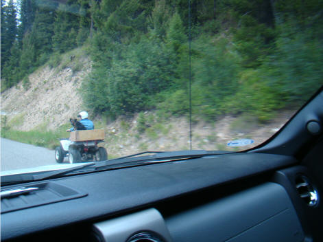
As we traveled up to the Nez Perce summit on a relatively good Montana road, we kept passing ATV's. Rangers had suggested that we should be on the lookout for them as ATV recreational groups were headed through the corridor in both directions. In addition, the Forest Service was using ATV's to move people and supplies into the area to fight two fires which were burning in the Selway wilderness.

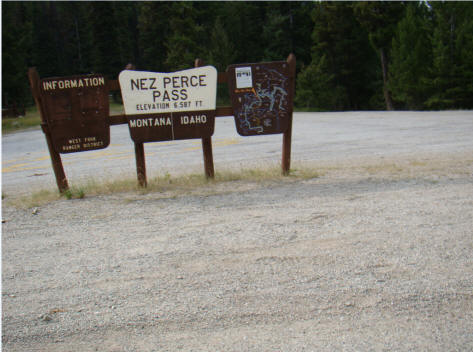
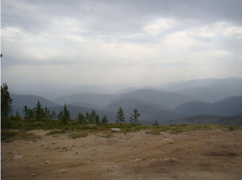
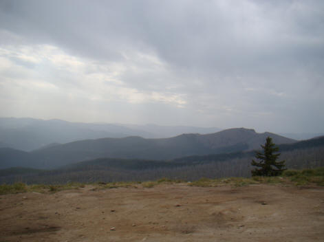
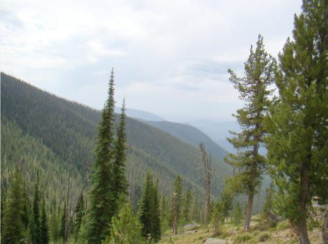
Arrived at the Nez Perce Pass summit at 9:35 a.m. where the elevation was 6,589 as we again crossed into Idaho. The two couples in their jeeps would shortly be bid adieu as well as the asphalt. The view into Idaho and Montana was awesome and we were thankful that the rain which had been predicted for the morning had not amounted to anything other than light sprinkles.
Looking into Idaho, we were pleased to see that the clouds were broken and that we should have relatively good weather headed into the worst part of the trip. We thanked our friends from Idaho Falls as we rested at the summit before heading down towards their Paradise Road turnoff.
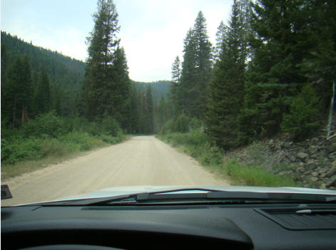
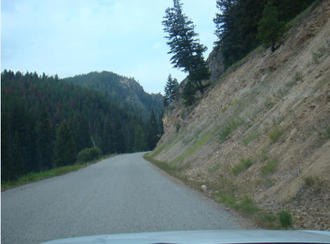
The road over the summit and down to the Hell's Half Acre turnoff was paved. About 9 miles from the summit, we passed the turnoff to Hell's Half Acre Lookout. But shortly after the turnoff, the asphalt quit. The road to Hell's Half Acre is 11 miles long, very steep, narrow and rocky and with only one spare tire, we stayed on the main highway(?). Shortly, the road turned to gravel and suddenly narrowed to just one lane.
The warning sign said it all: Warning. Narrow winding road. Watch for Fallen Rocks. They should have warned us about falling trees.
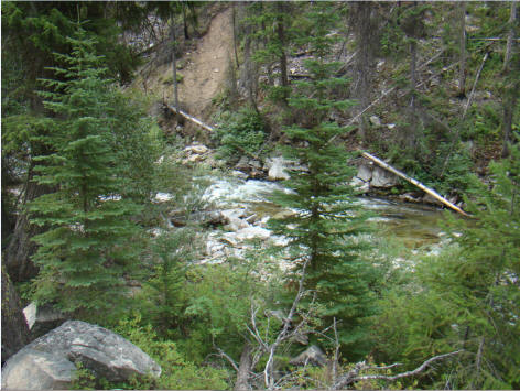
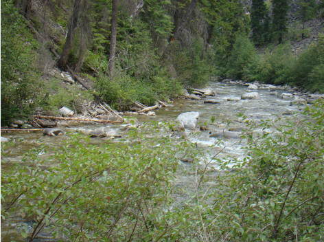
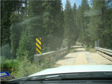
After the Hell's Acre turnoff, it was about 7 miles to the Deep Creek campground. Anglers were warned that depending upon which side of the Magruder Creek Bridge they fished on, they would need either an Idaho or Montana fishing license.
We had been told that the road to the Magruder Ranger Station from the Darby side was maintained as was the road from Elk City to the Burnt Knob Creek. The two lookouts were each about 1/3 of the way from the start of the Magruder Corridor Road. The middle third which I was about to enter was the worst and was not maintained. In fact, the US Forest Service and the Environmental Protection Agency were often at odds about whether the road should be open or closed.
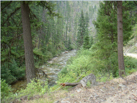
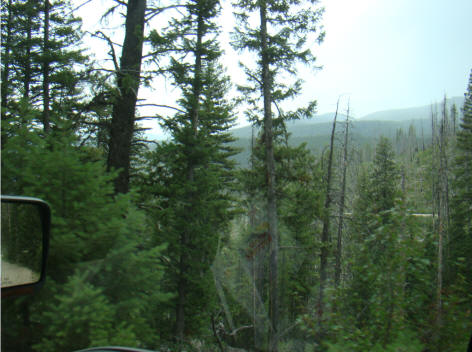
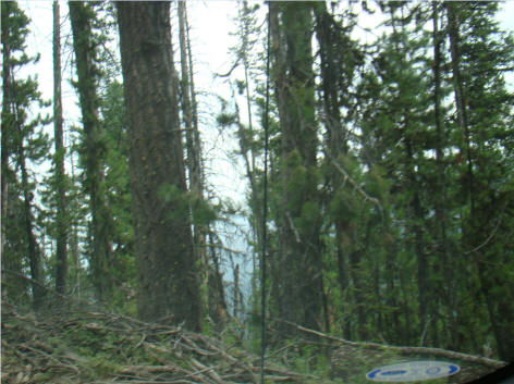
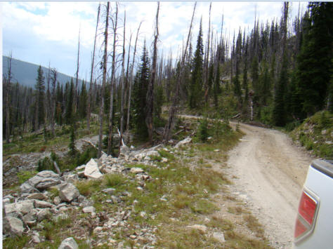
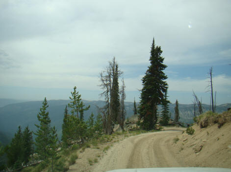
Upon pushing on from the Magruder Ranger Station cutoff where the elevation was only 4,100 feet, the road became very rough with many tight curves and a one-lane track which was often on the cusp of a ravine several hundred feet straight down. Taking pictures became difficult due to the steepness of the road, the many hair-pin curves and trying to just stay on the road. However, the pictures shown below show the variability of terrain as well as the views.
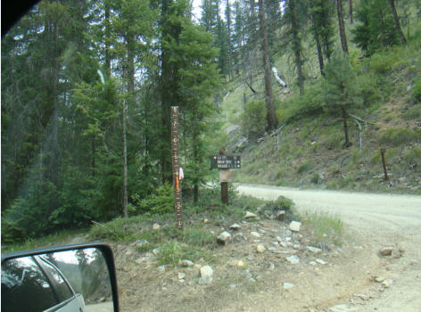
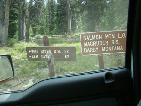
At the turnoff to the Paradise Guard Station on Paradise Road where my two Jeeps left me, the sign showed that it was 78 miles to Elk City. I was only 1/3 of the way and it was 10:28 a.m. If I thought the road had been bad up to now, I was in for a reassessment for after the Magruder Bridge crossing, things got worse.
The Magruder Bridge with an elevation of only 3,650 feet is the only place in the upper Selway drainage system where you can cross the Selway River. From the Paradise Road turnoff to the Magruder Bridge crossing was only 5 miles but took about 30 minutes.


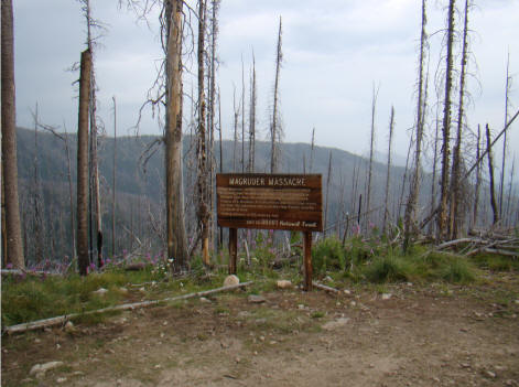
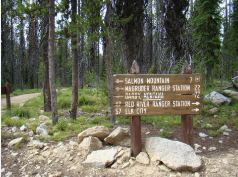
From the Magruder Bridge, the road sashays up and over Salmon Mountain to the observation point for the Magruder Massacre. We had driven only 59 miles from Darby and it was 11:00 a.m.

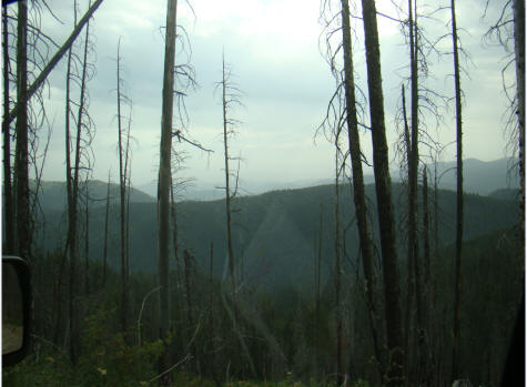
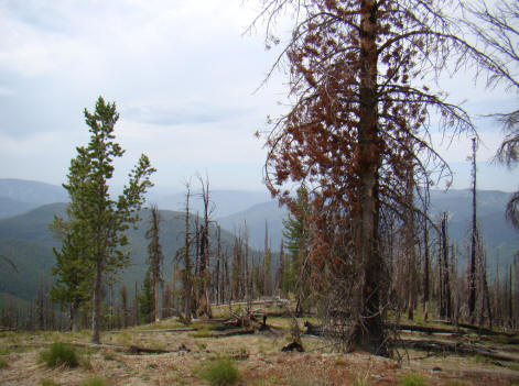
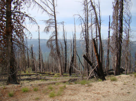
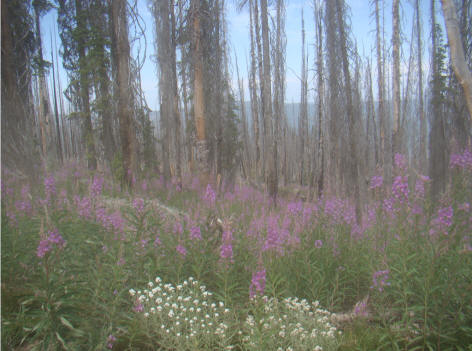
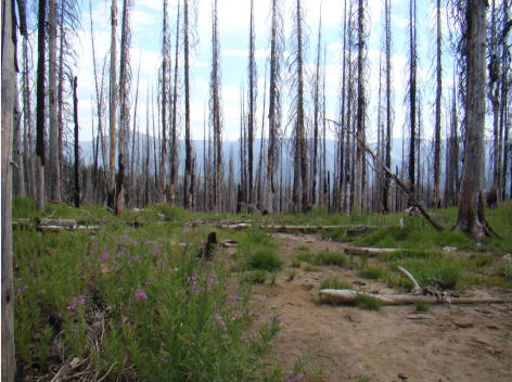
About six miles from the Magruder Bridge crossing was the Kim Creek Saddle and Trail Head which was 5,741 feet from which the views were outstanding. Then it was uphill again. Just before the Magruder Massacre observation site on Salmon Mountain at 7,620 feet, the road entered an expanse of burned forest several decades old.
From Kim Creek to the Magruder Massacre sign was only two miles but many of the trees were swaying in the wind ... now I understood the admonition back at the West Fork Ranger Station ... "are you carrying a saw and a tug chain." The Salmon Mountain Lookout Trail sign was at 8,030 feet. The one mile trail would add another 900 feet to the elevation at the lookout itself. I opted to continue in the F-150 as the wind was fierce.
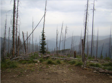
In another two miles, we arrived at the Salmon Mountain observation point at 7,585 feet with the views shown below.
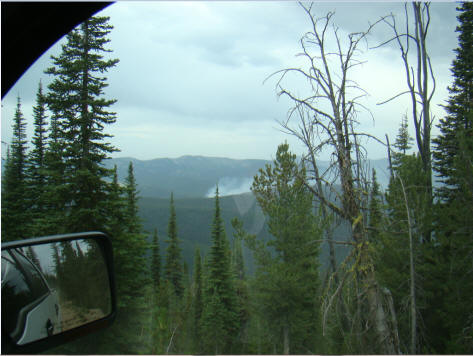
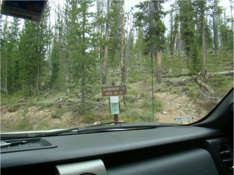
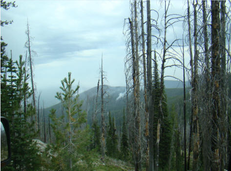
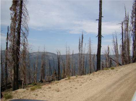
After leaving the Salmon Mountain observation point, we drove through more burned trees and headed down towards Salamander Creek. We were almost half-way through and it was 12:05 p.m.
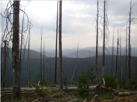
The US Forest Service had been fighting a fire near Salamander Creek for the past week according to the firefighters I visited with at Hamilton that morning. Smoke from the fire could easily be seen from the road as seen in the following pictures. At the top, the wind was blowing about 30 to 40 mph and we had come across trees which had just recently blown down near the road judging from the limbs and tire tracks.
The rules for driving on a one-lane road are that the car going downhill must allow a car coming uphill to pass. If space is not available, the car going downhill must back up. As we headed down towards Salamander Creek, and with the road twisting and turning every 50 feet it seemed, we met our first eastward moving vehicle ... a large F-450 flat-bed of the U.S. Forest Service. The road was very narrow and on my drivers side it look 1,500 feet almost straight down to the floor below. As I carefully backed up, the F-150 came to a sudden stop after about 400 yards.
To make a long story short, the rear passenger tire was up against a tree that apparently had recently fallen in the road bed. From the other truck, two Forest Service workers got a chain saw and after I had rolled the F-150 downhill slightly, they were able to make quick work of the tree and throw it over the side of the cliff. Unable to get past, one of the Forest Service workers guided me another 1/4 of a mile around three curves until they found a place that might allow their F-450 to pass my F-150.
As I started to get out of my pickup and opened the door, luckily, I looked down and there was nothing to stand on. My rear tire was about 1/2 on the road and 1/2 in space. Very carefully, I got out through the passenger door and watched with bated breath as they gingerly in four wheel low drive managed to go up the embankment to get passed. With the mirrors on both vehicles folded in, they managed to squeeze by.
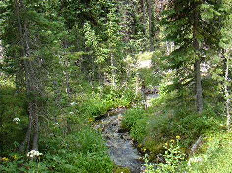
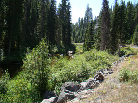
At the bottom of the hill, we came upon the free-flowing Salamander Creek which ultimately flows into the Clearwater River. The road then brought us to the Horse Heaven saddle after another 3 miles, and in another 3 miles uphill to the Sabe Vista Point at 7,466 feet. It was four rough miles to the Dry Saddle Trailhead and another 1 1/2 miles to the Burnt Knob turnoff. At 12:34 p.m. we arrived at the Burnt Knob Road turnoff to the lookout. Based upon Jeff Head's admonition, I was not going to try it with only a two-wheel drive F-150.
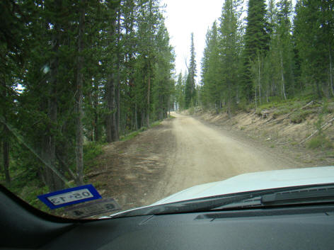
From the Burnt Knob turnoff, the road improved as maintenance was done to Idaho super-highway standards. At the top of the ridge, we began to see evidence again of human beings. We were at head of the Salamander Creek trail where the fire teams were fighting the fire.


The road now began to improve with multiple turnouts. The road had left the major burn area behind and the sweet smell of pine invaded the nostrils.
Perhaps, we spoke too soon as entered another burn area and as we came around the top of the ridge, we caught another view of the fire on Salamander Creek.

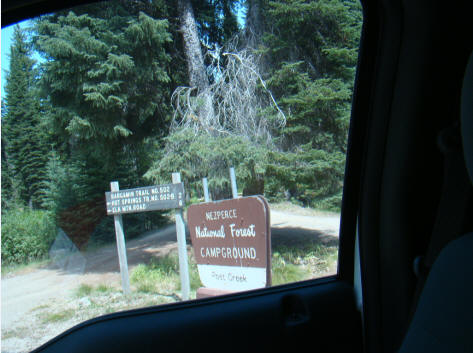
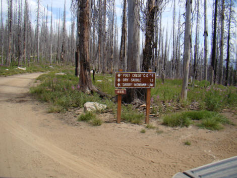
It took an hour to drive the six miles from the Burnt Knob road to the observation point near the Poet Creek Campground and its views from an elevation of 4,973 feet. The vistas along the way were fabulous.
From the Burnt Knob turnoff, it was on to Bargamin Creek where we crossed another bridge and headed to the Poet Creek Campground.
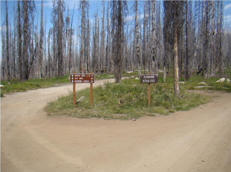
We had managed to drive 96 miles since 7:45 a.m. and it was 1:30 p.m. The road had climbed back to 6,764 feet where the road to the Green Mountain look out station branched off.
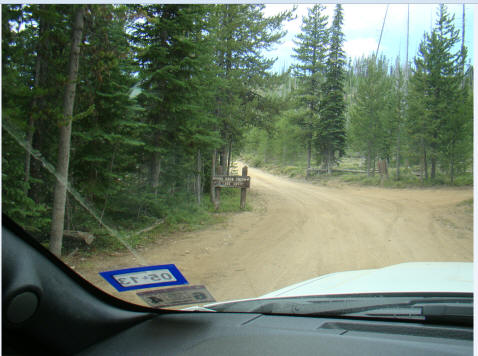
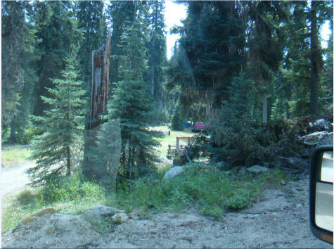
At 2:50 p.m., we finally reached the Mountain Meadows campground and we were almost to the end of our gravel road journey.


Upon reaching Idaho Hwy 14 and the pavement, the road follows the Clearwater River for many miles. This is a great clear running trout stream but I only saw one angler trying to catch trout.

The last few miles to Grangeville after leaving found the F-150 climbing up the hill from the Clearwater River on US 13 where upon entering the town on the Camas Prairie, it was rodeo time. Of course, that meant that all the lodging was full.
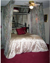
However, the helpful clerk at the Super8 thought she might be able to find a room at the White Bird Summit Lodge about 20 miles south. The only room available was the "Honeymoon Suite" but after a long day of driving averaging 16.8 miles per hour, it would do.
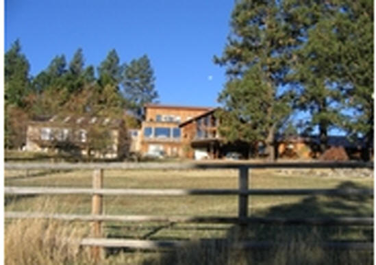
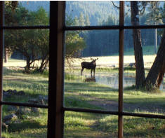
After arriving at the White Bird Summit Lodge, I found the hosts, Frank and Terri Schmitz, friendly, and the atmosphere great. Frank and Terri are both hunters and fisherman and some of the trophies are mounted throughout the lodge.
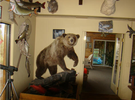
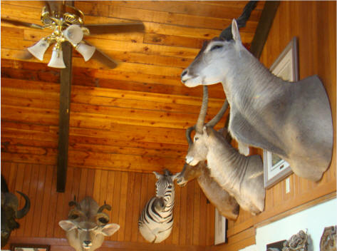
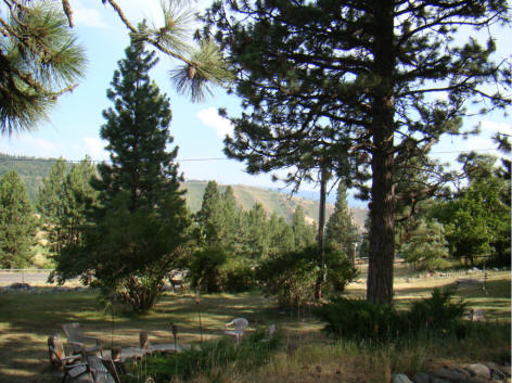
If you ever get up that way, stop and admire the scenery, and take a look in the lodge. It is truly worth the time. More importantly, it would be a great place to spend a few days decompressing.
Today completed a trip that I had often wanted to do and the relaxation at the White Bird Summit Lodge provided the opportunity to unwind before drifting into a sound sleep in the "Honeymoon Suite".
It was the culmination of a great day!
To return to the rest of the August 2012 trip, click here.
Fred Richards
August 28, 2012
Corruptisima republica plurimae leges. [The more corrupt a republic, the more laws.] -- Tacitus, Annals III 27
"On the Road
Again!" was copyrighted by Adrich Corporation in 2012.
All rights reserved. Quotation with
attribution is encouraged.
![]()
Last updated - August 28, 2012